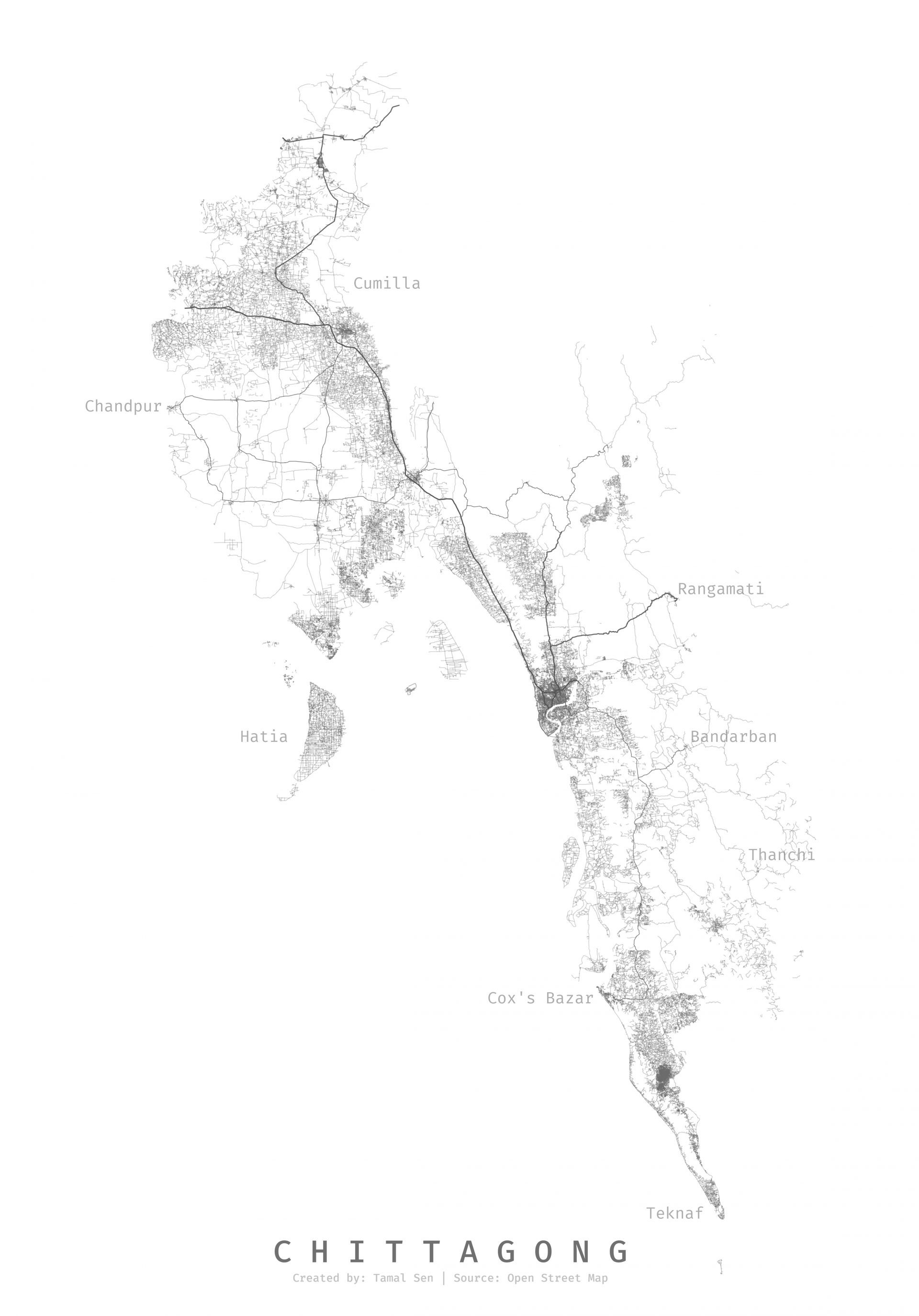
I was inspired by a data visualization project on mapping all the roads of India. So, I thought I would do the same for my hometown. So, I grabbed my laptop, consumed 20+ hours of youtube content on QGIS and finished this project.
Check out the project link for hi-res image